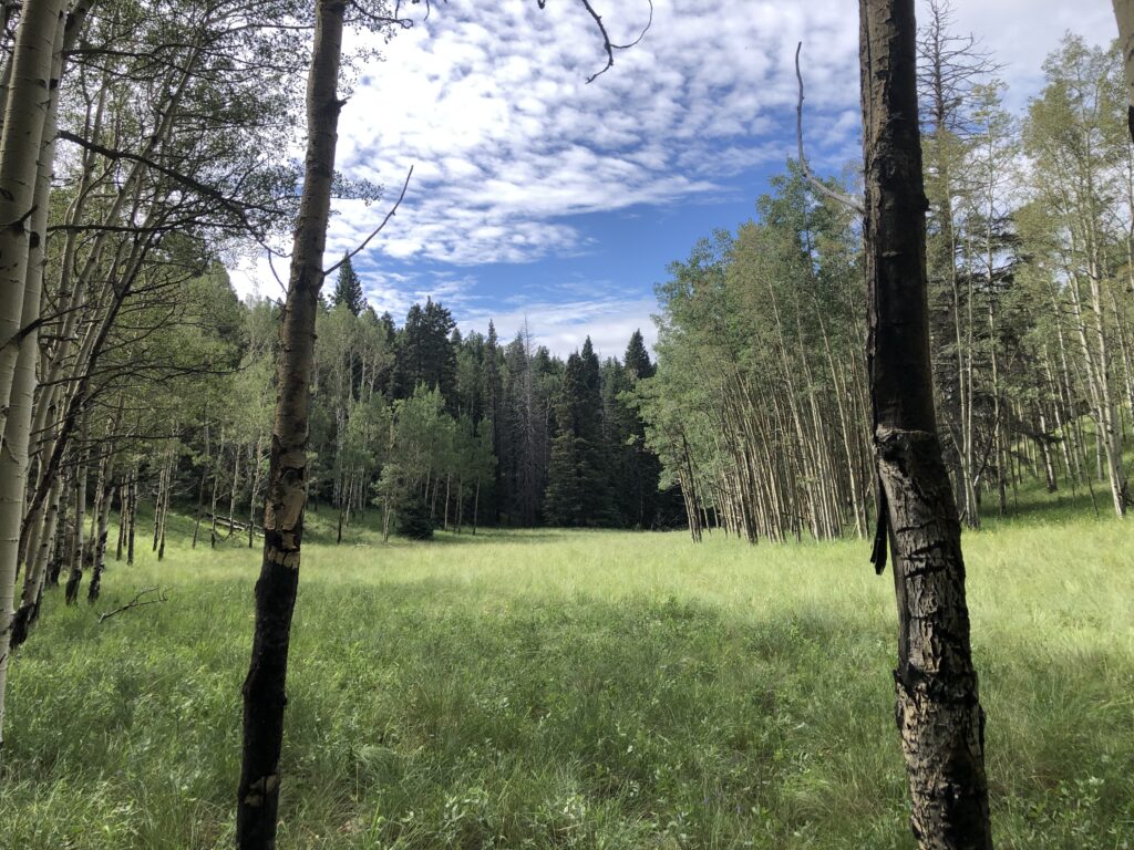
Swisher Meadow is a beautiful spot up on Cheyenne Mountain. The trailhead is off of Old Stage road, about 5 miles in. When you get to Forest Service road 369, you will see a sign for riding stables. Pull off on the north side of Old Stage and look back on the south side of the road to see the McNeill trail heading back to the east. After a few miles on this trail, there is a steep trail heading up the ridge to the south. This is Swisher trail which takes you up to the meadow on top of the ridge. After relaxing in this meadow, climb another ridge to the south and you will see a road below. This is Transmitter Way which is the road to maintain the antenna farm visible from Colorado Springs. This road is an alternate way to get to this meadow but obviously, much longer.
Trailhead: N 38° 44.025 W 104° 53.765
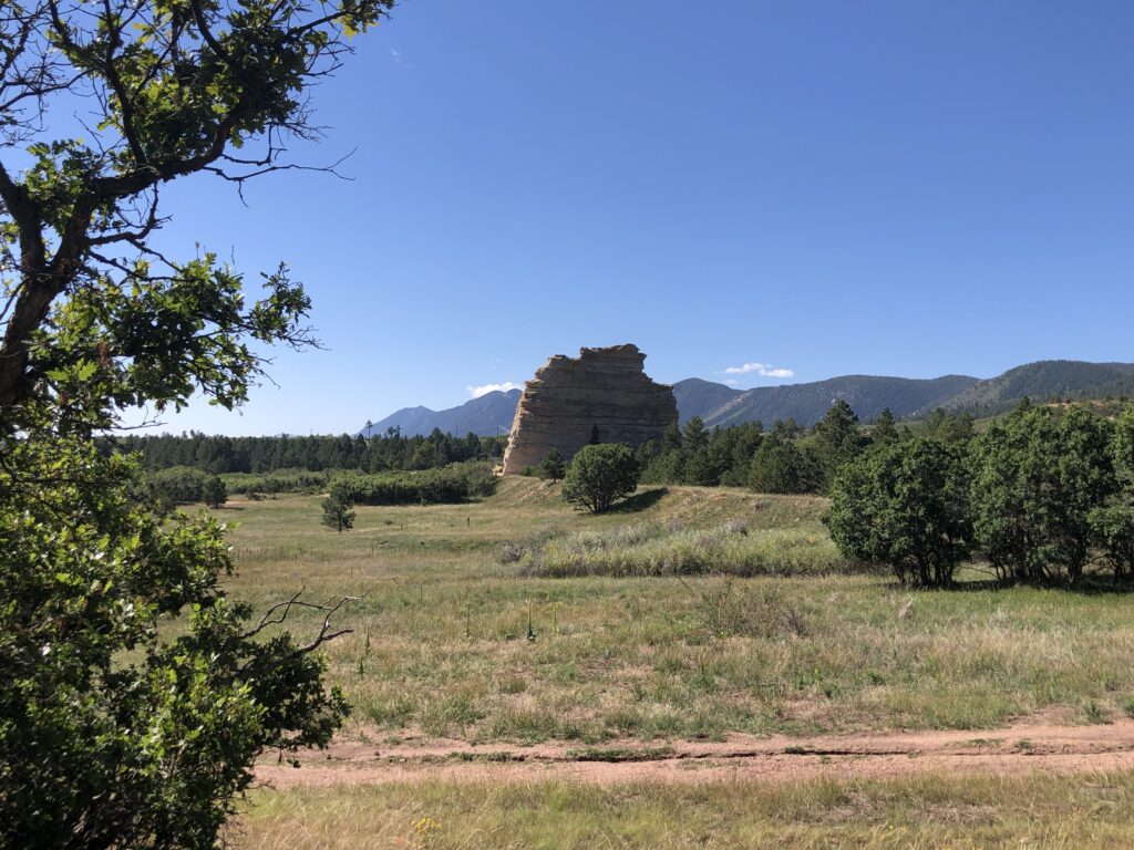
Monument Rock is a huge monolith sandstone formation visible from I-25. You can walk right to it from the Nursery road trailhead off of Mt. Herman road. The road is named, “Nursery”, because this area was a huge tree nursery started by the CCC in 1907, important for replacing the trees lost to fires. You will see rows of these trees, now mature, left over from this project. There is a small pond and evidence of two others just to the north of Monument Rock which were used for irrigating the nursery.
Trailhead: N 39° 04.984 W 104° 53.251
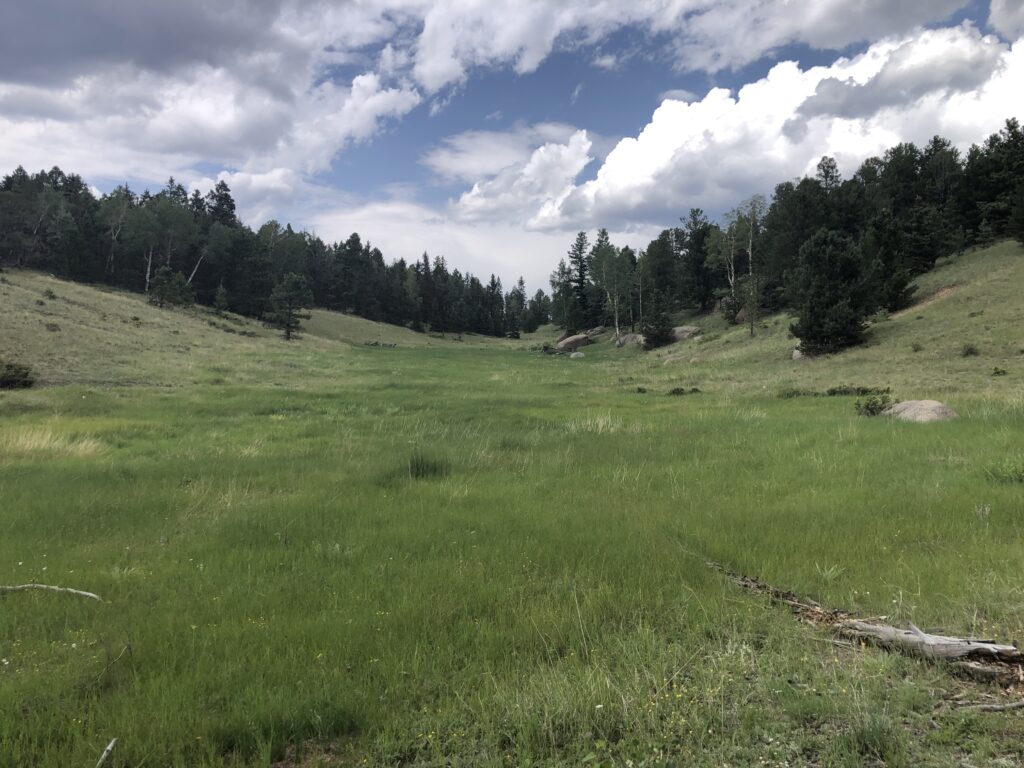
Mueller Park has so many trails to explore. This is a Colorado State park so a fee is required to enter. One of my favorite hikes is to old homesteads where some structures still remain. Above is a view from the Osborne homestead where pigs were kept and potatoes were planted.
Trailhead: N 38° 53.737 W 105° 10.995
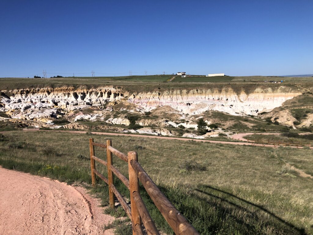
Painted Rocks is an El Paso county park near Calhan, Co. It has been maintained very well and some of the colors of the sandstone rocks are amazing.
Trailhead: N 39° 01.246 W 104° 16.449
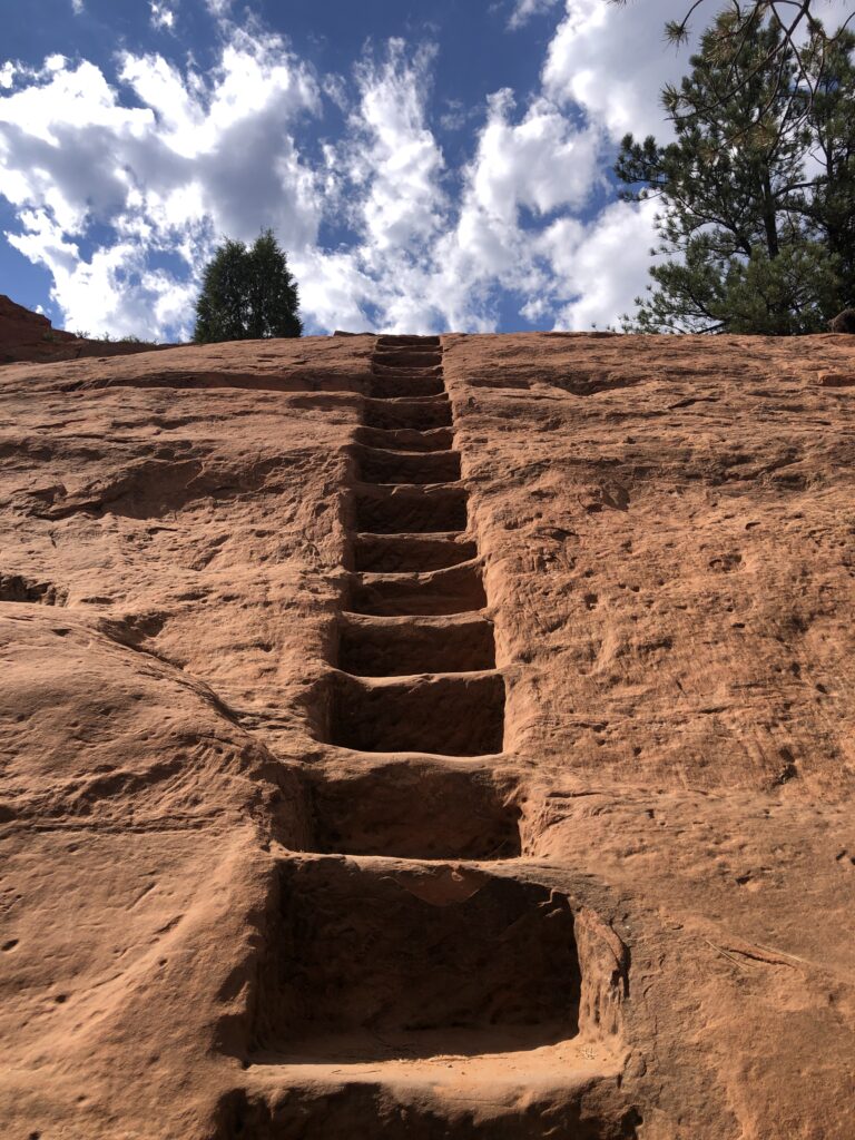
Red Rock Canyon gives you a choice of many trails to explore the sandstone formations that are similar to Garden of the Gods. There was a rock quarry here at one time where huge blocks of sandstone were cut from the rock walls. You can walk up these steps into the quarry area and imagine the hard work put into removing these rock slabs.
Trailhead: N 38° 51.203 W 104° 52.774
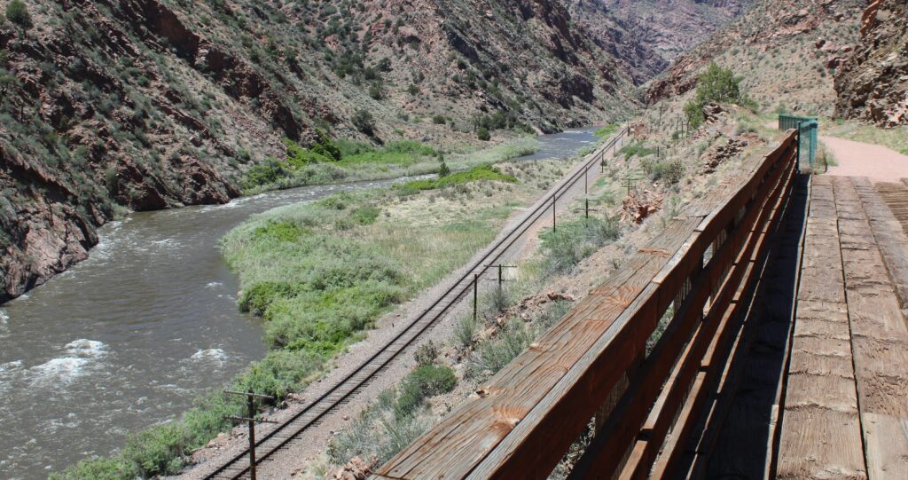
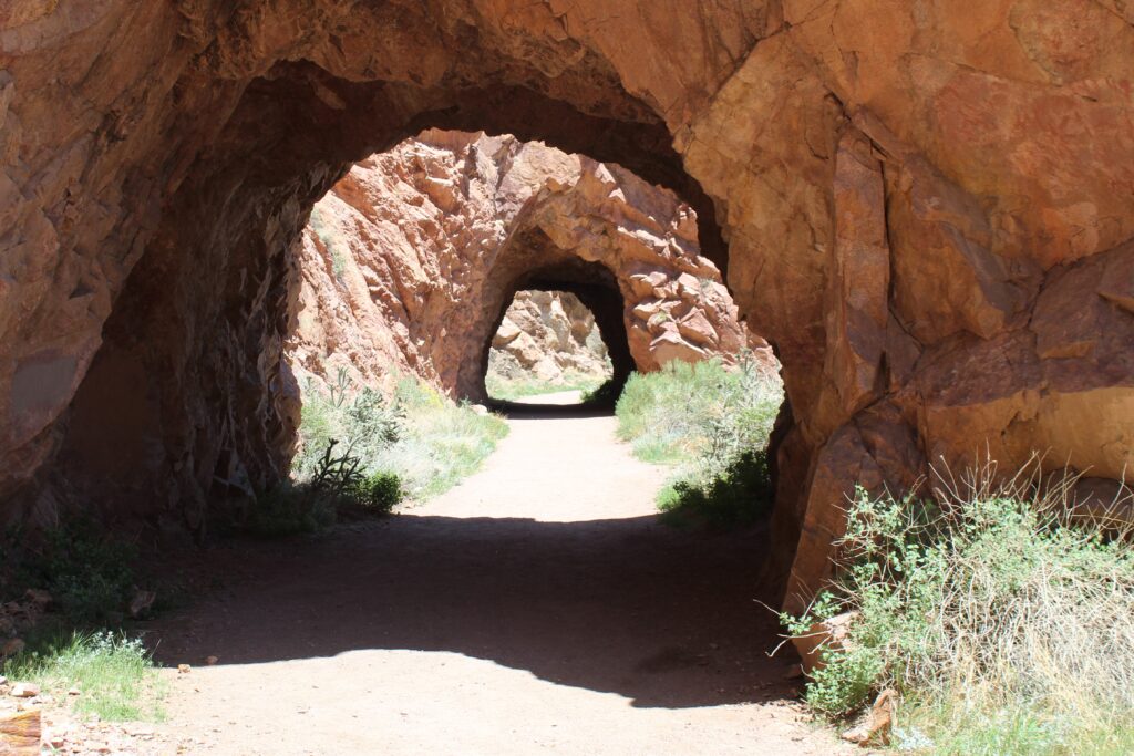
Tunnel Drive is a trail along an old railroad bed right near Canon City. It parallels the Arkansas river and another railroad which was a competitor to the bed which is now a trail. In fact, the rails were never laid on this upper bed since jurisdiction decided only one railroad would go through this area. This is still a very scenic walk where you go through three tunnels along the way.
Trailhead: N 38° 26.020 W 105° 15.894
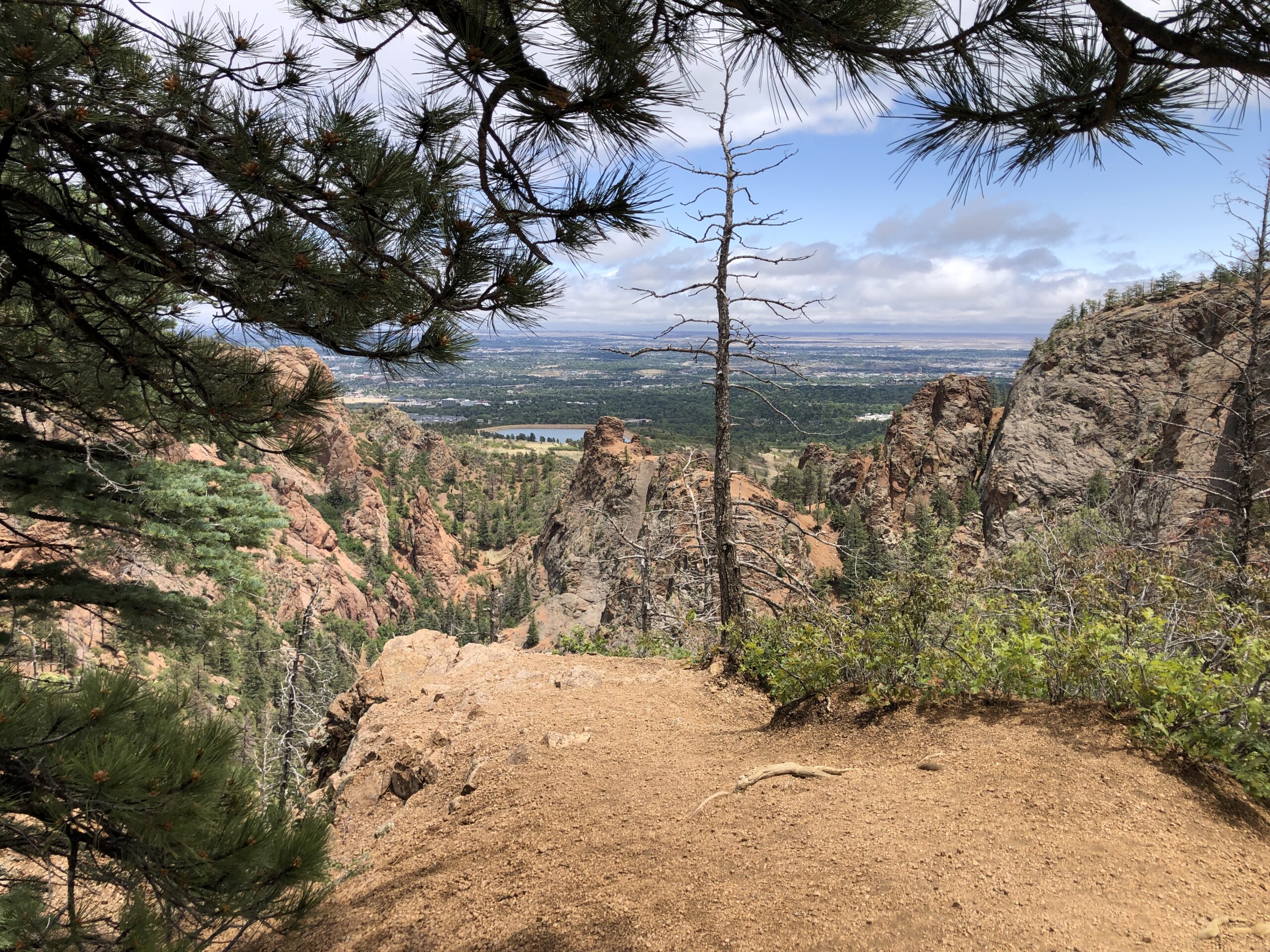
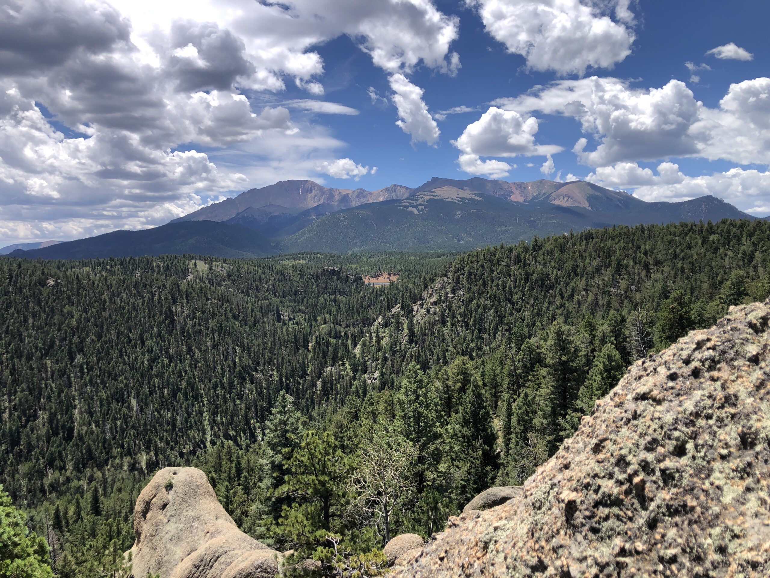
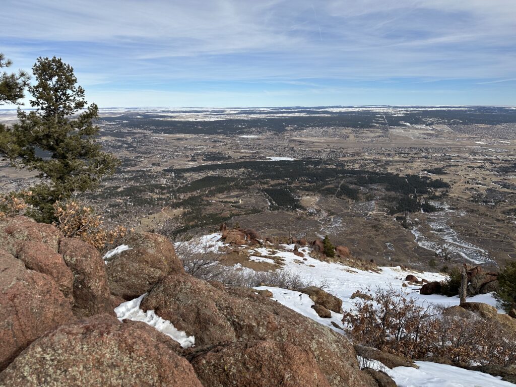
Mt. Cutler/Mt. Muscoco trailhead is just off the road through North Cheyenne Canyon. The trail switchbacks of the north slope to the ridge where you can go left to Mt. Cutler and see views of Seven Falls. If you go right at the ridge, follow the trail up to the highest point around which is Mt. Muscoco.
Trailhead: N 38° 47.507 W 104° 53.221
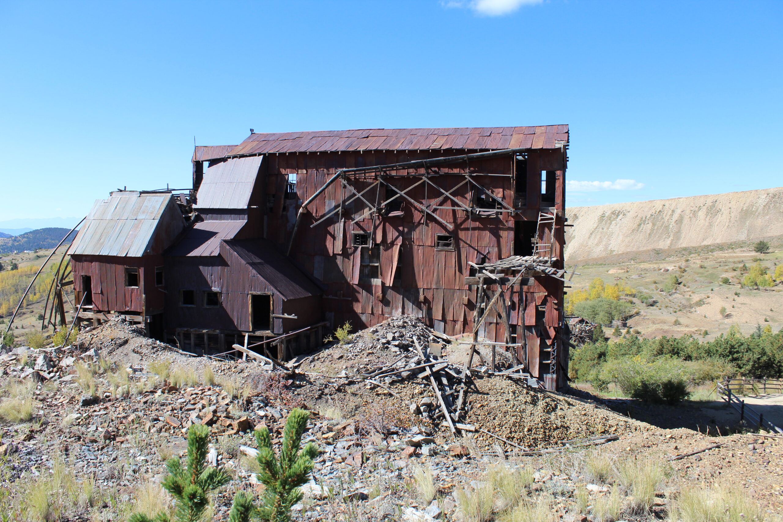
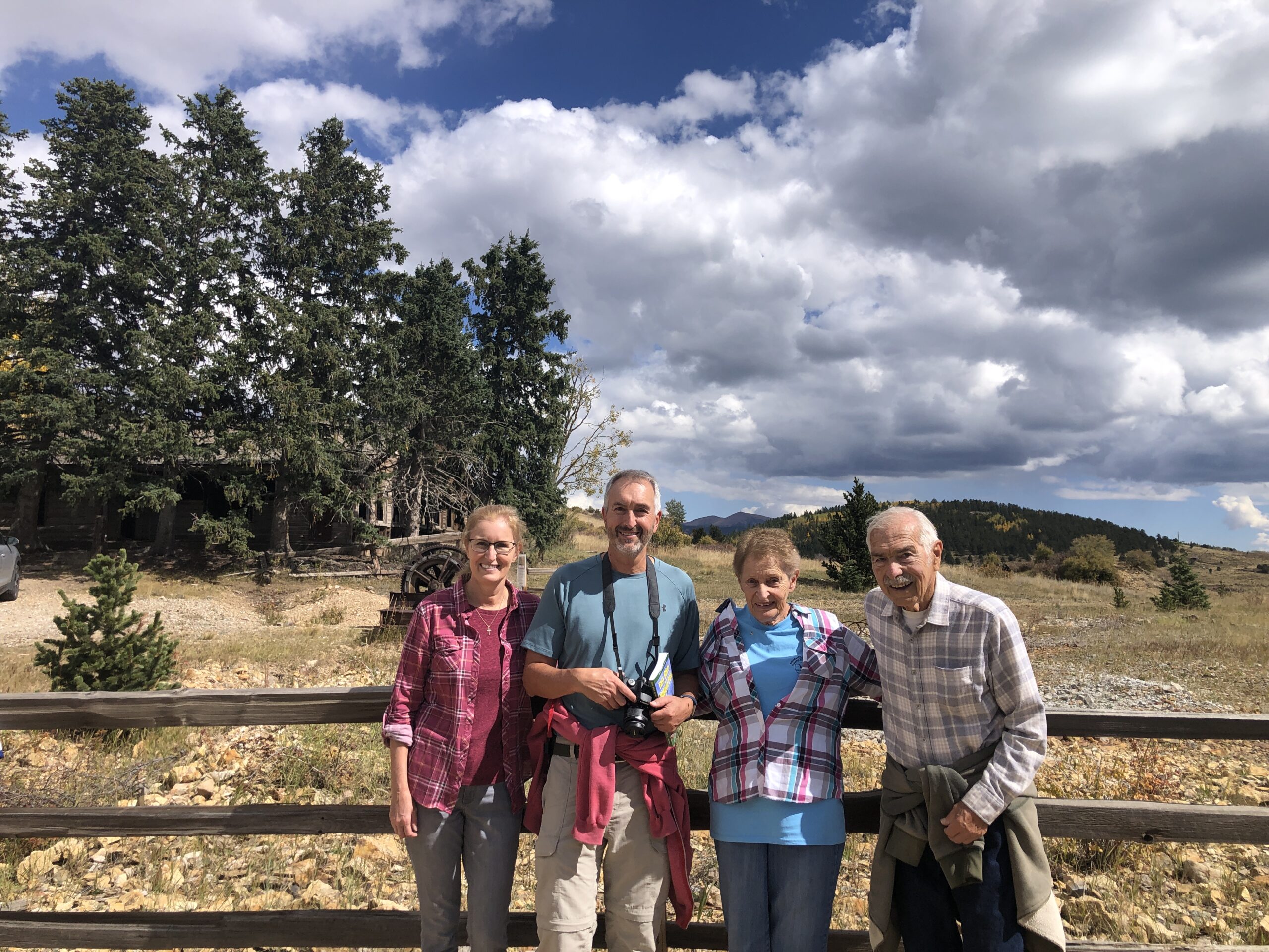
Vindicator Mine Loop is a way to explore old mining headframes, buildings and equipment. It is a 2-mile loop near the once thriving town of Goldfield just northeast of Victor, CO. This trail is well maintained and has descriptive signs along the way.
Trailhead: N 38° 43.648 W 105° 07.634
Dewey trail, near the town of Green Mountain Falls first takes you to Mt. Dewey and by continuing along the ridge, you can hike all the way to North Catamount Reservoir near the Pikes Peak toll road! This hike can take you on a loop by taking the zigzaggy Catamount trail back down to Hondo avenue and into town.
Trailhead: N 38° 56.293 W 105° 01.166
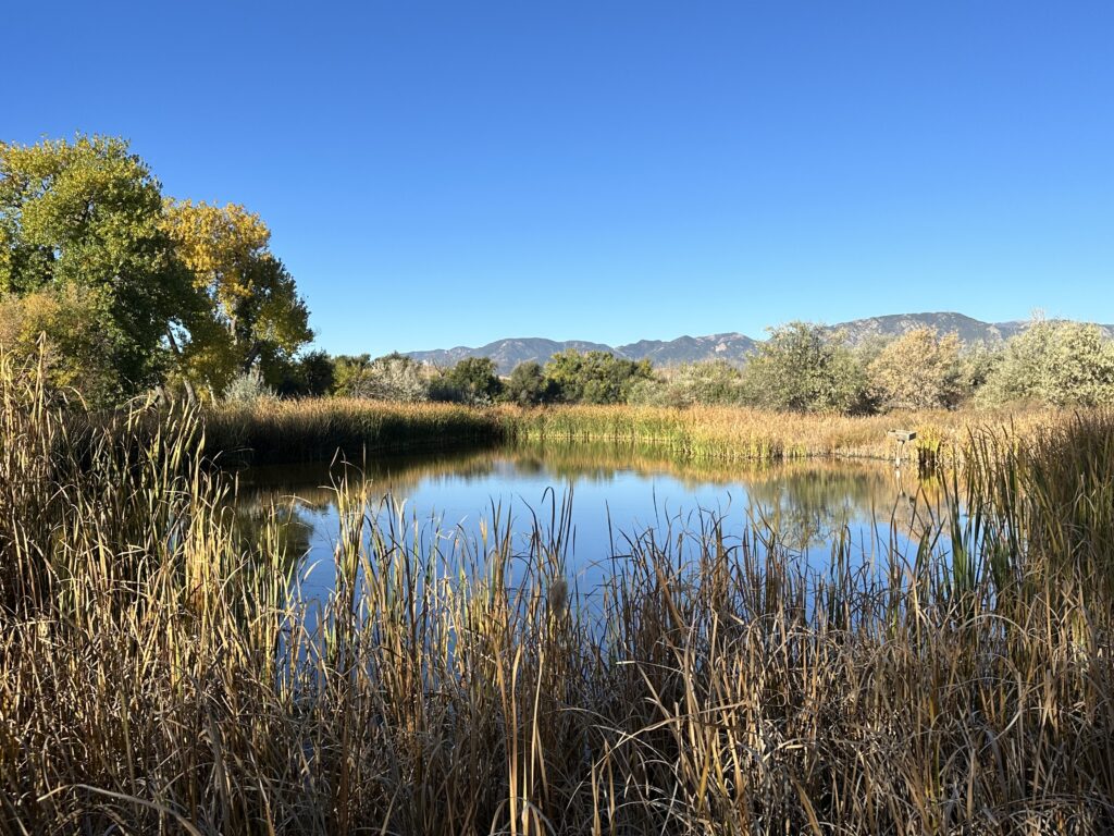
Fountain Creek nature center is a great relaxing destination for birding and enjoying the scenery just south of Colorado Springs. The trails are mostly flat and in great condition.
Trailhead: N 38° 42.831 W 104° 43.004
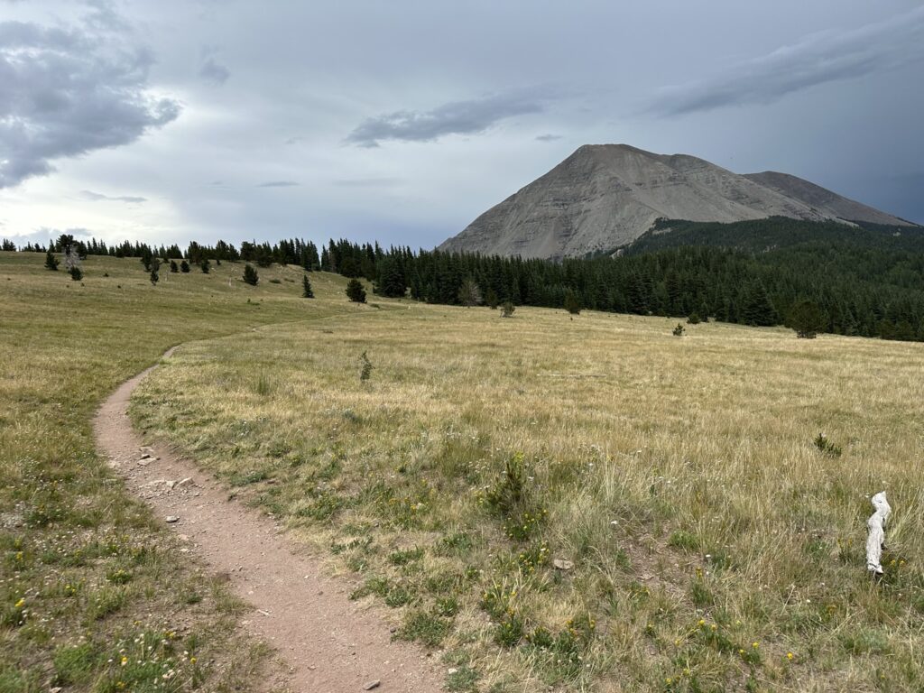
West Spanish Peak is one of the 2 peaks visible on the southern horizon all the way from Colorado Springs. Cordova Pass campground is a nice place to set up your tent before starting the trail to this mountain. It only has 4 sites available. The trailhead is right across the road and it starts with a beautiful hike through a meadow before the rugged climb to the top.
Trailhead: N 37° 20.915 W 105° 01.744
Mt. Herman is just to the west of Monument, CO. It provides nice views of the Palmer Lake and Monument. Driving up Mt. Herman road gives you a nice start to the trail
Mt. Herman rd. Trailhead: N 39° 04.273 W 104° 55.937
Or, the longer alternative of starting at the Nursery road trailhead.
Nursery rd. Trailhead: N 39° 04.966 W 104° 53.256