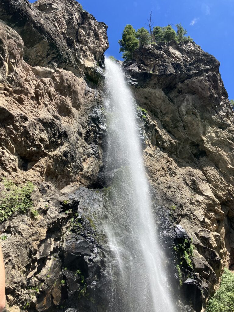
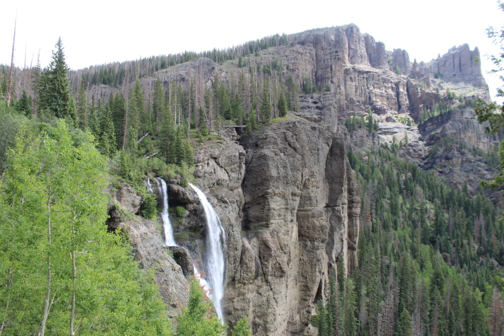
Treasure Falls is in the San Juan National Forest east of Pagosa Springs, just off of Hwy 160. There is a nice parking area off the highway and an easy 1-mile trail leading to the base of the falls. This is a great place to stretch your legs after driving over Wolf Creek pass.
Trailhead: N 37° 26.560 W 106° 52.640
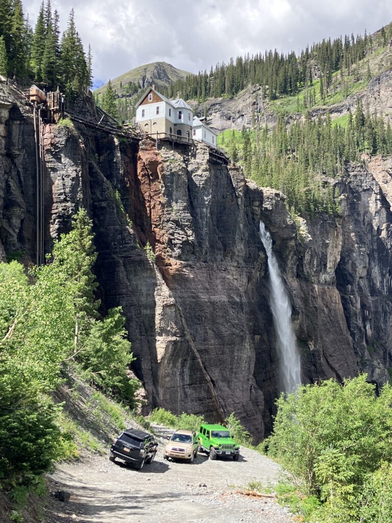
Bridal Veil Falls is one of the most scenic waterfalls in Colorado. On the eastern edge of Telluride, the trail is steep and quite difficult but there is a much longer jeep road to get there in which you’ll have the option of hiking. The building at the top is not a house but a power station providing power to Telluride.
Trailhead: N 37° 55.720 W 107° 46.590
Ingram Falls is next to Bridal Veil Falls (see above). You will reach the lower cascades of Ingram Falls on the trail, a good place to soak your feet. The upper falls can be seen above and to the north of Bridal Veil Falls flowing from Telluride Peak.
Trailhead: N 37° 55.720 W 107° 46.590
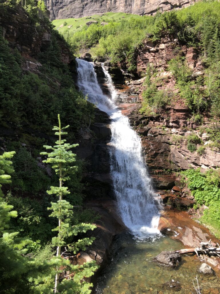
Falls Creek Falls is north of Pagosa Springs accessed by a six-mile scenic hike. This hike starts off a little rocky but you are rewarded with a beautiful meadow. The falls create a mist and a great backdrop for photos.
Trailhead: N 37° 24.560 W 107° 03.170
Fourmile Creek Falls is just past Falls Creek Falls. You can continue further on the trail to get to the brink of the falls or, if you prefer, enjoy the panorama of cliffs and falls from a distance.
Trailhead: N 37° 24.560 W 107° 03.170

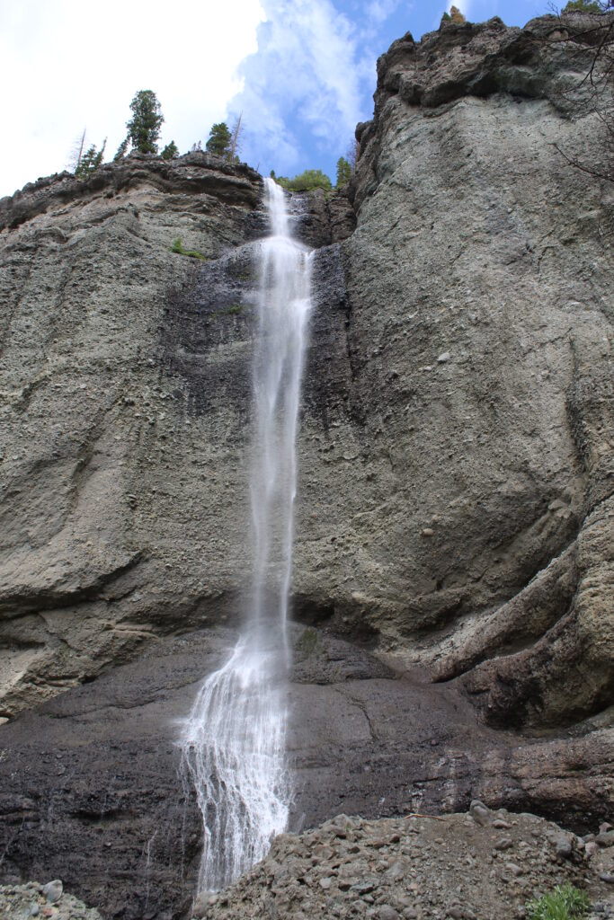
Box Canyon Falls is at the southwestern corner of Ouray. There is a cool steel walkway taking you to the base of the 285-foot falls. A $5 fee per person is now charged to access this trail to the falls.
Trailhead: N 38° 01.080 W 107° 40.650
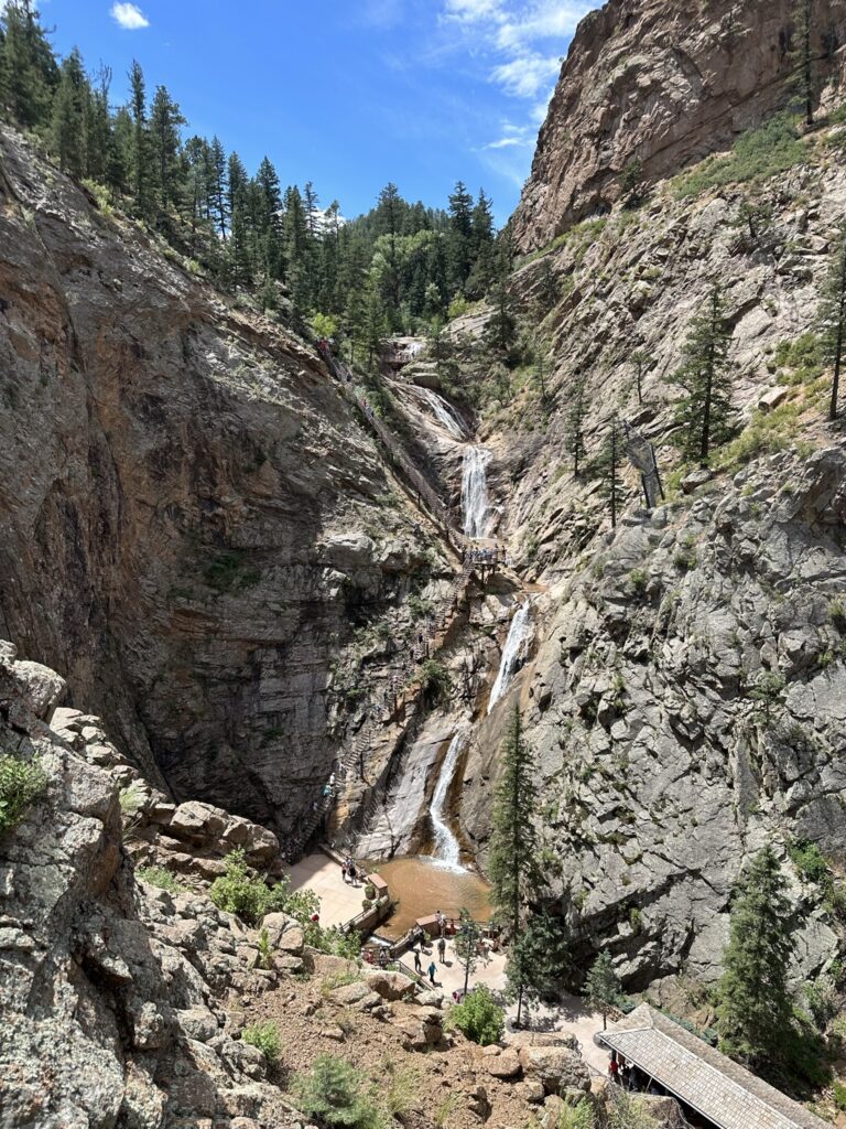
Seven Falls is a popular tourist attraction in Southwestern Colorado Springs. Climb 224 steps to the top!
Trailhead: N 38° 46.920 W 104° 52.795
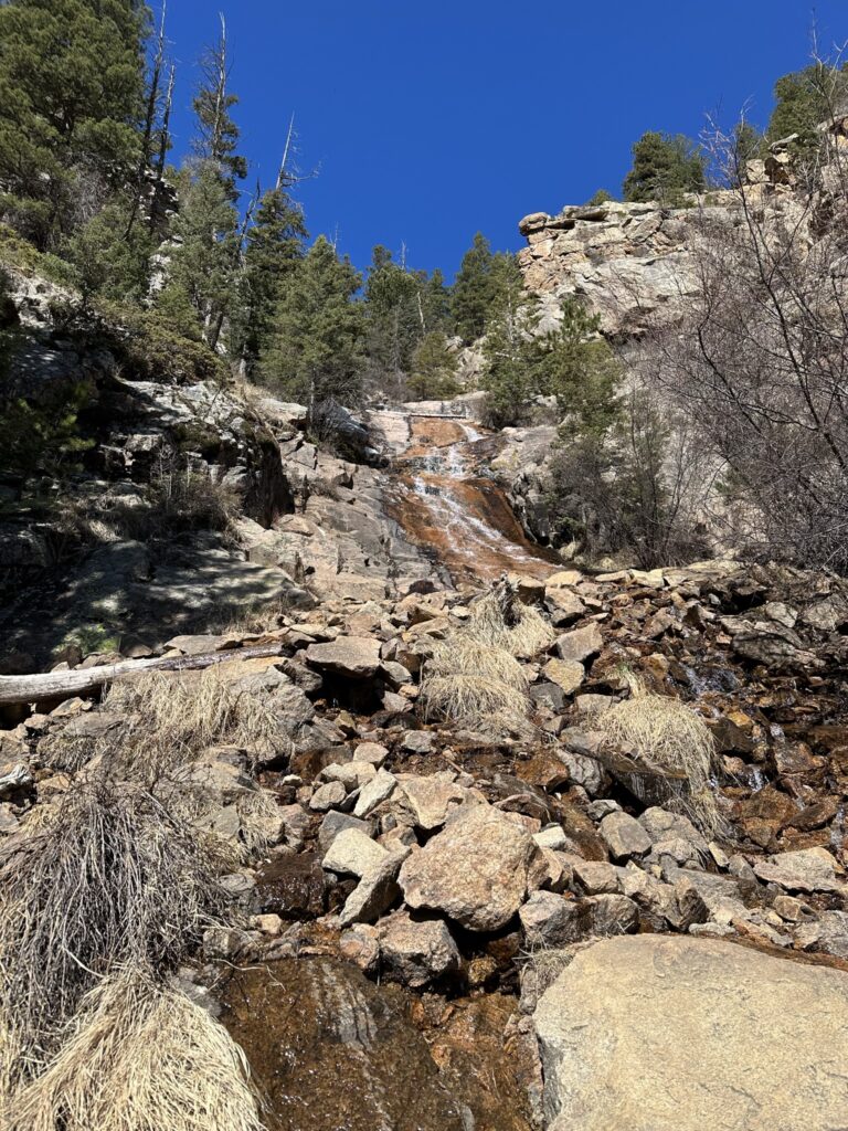
St. Mary’s Falls is a nice destination of a hike in the southwestern part of Colorado Springs. From the upper Gold Camp parking lot, you can hike the 7 bridges trail going west into the mountains or take the old Gold Camp road past the collapsed tunnel and continue on the trail to the falls.
Trailhead: N 38° 47.427 W 104° 54.227
Falls: N 38° 46.260 W 104° 55.100